Google Maps’ New Feature Makes EV Road Trips Easier
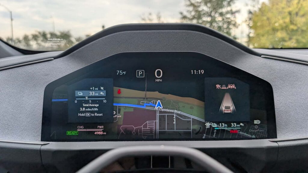
Google is enhancing the electric vehicle (EV) travel experience by integrating route planning features into Android Auto. This feature, announced in March, is set to be available in EVs from over a dozen manufacturers, providing drivers with an efficient way to plan charging stops. During a test drive with the Lexus ES 350e, this feature proved to be useful, though not without some inaccuracies.
The route planning feature automatically suggests charging stops based on the vehicle’s battery level and range, removing the need for drivers to manually calculate the distance they can cover. This is a step forward for many EVs, which already offer similar features through in-built navigation systems. Notably, Tesla and Rivian vehicles have long provided seamless route planning, though they don’t support Apple CarPlay or Android Auto.
Photo by: Suvrat Kothari
Android Auto’s approach could democratize EV route planning by supporting a wide range of vehicles, both old and new. According to Google, the feature will initially be available for more than 15 brands, with expansion anticipated.
Setting Up EV Route Planning on Android Auto
Activating EV routing on Android Auto is straightforward but requires some initial setup. Since Android Auto isn’t directly connected to a vehicle’s diagnostics, users must input vehicle details manually. This includes entering the EV’s make, model, year, and compatible charging connector in Google Maps’ settings.

Photo by: Suvrat Kothari
After setup, when a destination is entered, users can input the current battery level to receive suggested charging stops. This setup only needs to be done once unless frequently switching vehicles.
Comparing Android Auto to Native Systems
While Android Auto’s EV route planning is a helpful tool, it has limitations. Unlike native systems, it lacks direct access to vehicle data, affecting its ability to provide precise range and charging predictions. Factors like cargo or aerodynamic changes aren’t considered, which can lead to discrepancies in energy consumption estimates.
For a trip from South Brooklyn to Rochester, New York, covering around 350 miles, Android Auto estimated a total journey time of 7 hours and 48 minutes with charging stops. In contrast, the Lexus’ native system suggested a quicker route, saving 46 minutes by optimizing charging stops more effectively.
Google Maps displayed an EPA range of 307 miles for the ES 350e, which matches the Premium trim, although the tester was a Luxury trim with a range of 292 miles. Despite this, Google Maps offers several advantages, including its user-friendly interface and the ability to consider traffic, elevation, and weather conditions in its estimates.
Photo by: Suvrat Kothari
While Android Auto’s estimates might not be perfect, they are generally reliable for most scenarios, unless the driver is pushing the EV to its limits. Both Android Auto and native systems aim to optimize charging stops continually, though native systems might have the edge with real-time data access.
Original Story at insideevs.com