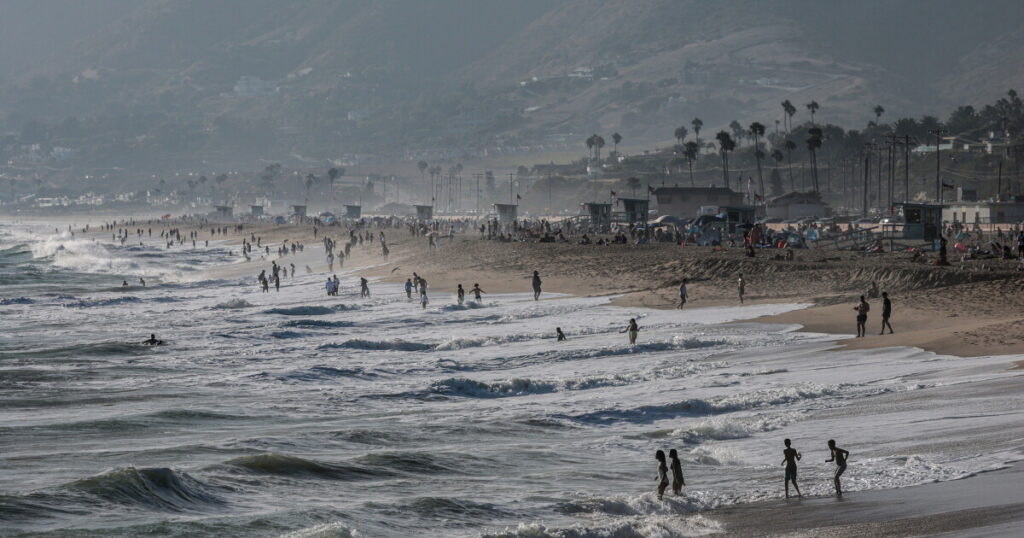
Southern California is bracing for weather changes as Tropical Storm Marie intensifies in the Pacific Ocean. Although the storm is not forecasted to make landfall, its effects will be felt along the coast over the holiday weekend.
Currently situated several hundred miles off the Mexican coast, Tropical Storm Marie is anticipated to escalate to a hurricane by Thursday morning. Moving in a typical northwest pattern, experts believe it is highly unlikely that the storm will shift northward.
Rich Thompson, a meteorologist at the National Weather Service, stated, “The current forecast track is for Marie to continue to move off to the west and northwest, further and further away.”
A diagram shows the likely path of Tropical Storm and Hurricane Marie through Monday morning.
Although Marie is not expected to make landfall, it will still influence the weather patterns in Southern California, particularly impacting the region’s beaches during Labor Day weekend.
Prepare for Hazardous Beach Conditions

Recent storm surges already have damaged Aliso Beach in Laguna Beach. A storm off the coast now has meteorologists warning of rough beach conditions and high moisture heading into the Labor Day weekend.
Coastal areas are expected to experience the most significant impacts. According to Thompson, “Those beach coastal impacts are gonna be the big thing to watch for this weekend. You’re going to have a large and southeast southerly swell moving into the coastal waters from the hurricane.”
The incoming swell will likely create powerful rip currents and large waves, particularly on south-facing beaches, with some potential for coastal flooding. The swell is anticipated to peak on Sunday and Monday.
Beachgoers should be cautious, as surf conditions have already been challenging this summer. Last weekend, over 1,200 rescues were made by L.A. County lifeguards, as more than a million people flocked to local beaches.
In light of the expected crowds during the holiday weekend, officials urge beach visitors to stay near lifeguard stations and follow all safety instructions. If caught in a rip current, swimmers should move parallel to the shore until safe.

National Weather Service safety tips on how to move out of a rip current safely.
The current ocean conditions follow a period of high surf and tides, which have already led to significant coastal erosion. These effects are expected to intensify as the region prepares for this winter’s El Niño.
Moisture and Rain Potential
In addition to rough beach conditions, Tropical Storm Marie will also bring increased moisture to the region. The influx of tropical cloud cover is expected to blanket beaches, with a chance of scattered rain showers across Southern California.
Rainfall is projected to be light, with a 50% possibility of accumulating up to half an inch. However, forecasters note there is still some uncertainty regarding the storm’s trajectory, which may affect the amount of rain and storm intensity.
Thompson explained, “That’s what we’re watching very closely in the next several days. If the forecast does seem to change over the next couple of days, it’s because the track of the storm would have changed.”
Should the storm shift closer to North America, the region could experience more rainfall and heightened beach conditions. Conversely, a shift in the opposite direction may lead to reduced impacts.
Original Story at laist.com