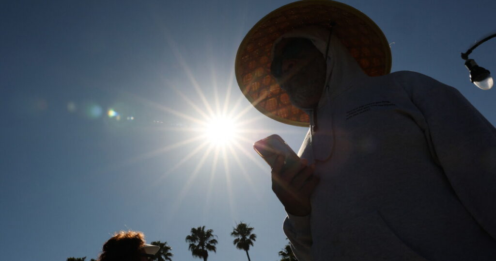
Southern Californians are facing a brief respite from the oppressive humidity that has gripped the region, though temperatures are set to remain unusually high. This week’s forecast predicts a minor cooling trend, providing some relief for residents.
Expect highs to range from the 80s to 90s across most of Los Angeles and Orange counties through Friday. However, areas within L.A. County’s interior, the Inland Empire, and desert regions are likely to see temperatures soar into the triple digits. Meteorologists caution that this relief will be short-lived, as hotter conditions are expected to return soon.
Weather Patterns and Forecasts
A high-pressure system, responsible for much of the summer’s sweltering weather, has shifted eastward, allowing for the current cooling phase. Nevertheless, it is anticipated to move back towards Southern California, reinstating the intense heat by the weekend. From Friday through Sunday, regions like the San Fernando and San Gabriel valleys could experience temperatures exceeding 100 degrees.
Beach Hazards
Simultaneously, Southern California beaches are contending with perilous surf conditions. Recent weeks have brought strong rip currents, large waves, and high tides to the shorelines. With beachgoers seeking refuge from the heat, safety concerns are paramount.
The Los Angeles County Fire Department’s lifeguard division reported nearly 2,000 rescues over the weekend alone. Officials warn that similar conditions are expected to persist into the coming weekend, with south-facing beaches being particularly susceptible. Beach visitors are advised to monitor surf conditions, stay in proximity to lifeguards, and heed their guidance. Avoiding tidal rocks and jetties is also recommended.
In the event of getting caught in a rip current, experts advise to remain calm, float to conserve energy, and swim parallel to the shore to escape the current, eventually angling towards the beach. It’s crucial not to fight the current directly. If unable to reach the shore, signal for assistance.
The hazardous surf is largely attributed to a series of tropical storms situated hundreds of miles southeast in the Pacific Ocean. Hurricane Fausto, originating off Central America on July 16, has been generating storm surges towards Southern California. It advanced towards Hawaii over the weekend as a Category 2 hurricane, but is now weakening. Concurrently, Hurricane Genevieve is advancing parallel to Mexico’s coast, approximately 500 miles from Baja California. Genevieve briefly attained Category 5 status earlier this week.
These storms, combined with swells from southern hemisphere storms, have created persistent and dangerous rip currents. “It’s been definitely a long period of very frequent and hazardous rip currents,” noted Bryan Lewis, a meteorologist with the National Weather Service. Additionally, there is potential for minor coastal flooding as a result of the ongoing surf conditions.
Original Story at laist.com