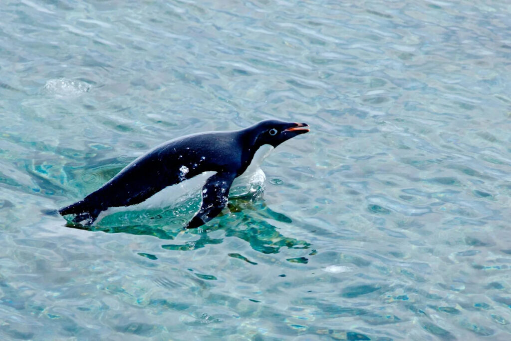
Satellite imagery offers an unexpected perspective on Antarctica’s changing ecosystem, focusing on an unusual subject: penguin poop. The color and distribution of Adélie penguin guano, visible from space, are proving to be valuable indicators of environmental shifts in this remote region.
Adélie penguins, prevalent predators in the Southern Ocean, are integral to the Antarctic food web. While they hunt in the ocean, their nesting sites are located on rocky outcrops all over the Antarctic continent.
The sheer number of penguins in these colonies results in significant guano accumulation, which is so extensive it can be identified from space using NASA’s Landsat satellites. A research team, led by me, has analyzed thousands of satellite images since the 1980s to study these guano deposits. This research provides insights into the dietary habits of penguins and how environmental changes impact their survival.
Our findings reveal that Adélie penguins adjust their diet based on the availability of sea ice. With more sea ice, they consume smaller fish, while less sea ice prompts a shift towards krill, tiny shrimp-like crustaceans.
The distinctive pink hue of the penguins’ guano, resulting from the krill’s undigested pink exoskeletons, allows scientists to determine their diet from space. By examining the color, researchers can infer the proportion of krill in their diet.
The color of food
Using a spectrometer, we measured the color of guano samples as they would appear from a satellite’s perspective, establishing a link between guano color and dietary content. This work, conducted in a makeshift lab onboard an Antarctic ship, provides a unique method to monitor animal diets from space.
With statistical modeling, we can now ascertain penguin diets based on guano color seen in satellite images, offering a broader view of the Antarctic marine ecosystem’s shifts. This is the first known effort to directly observe animal diets from space.
Through analysis of approximately 4,000 satellite images, we observed variations in penguin diets across the continent and over different seasons and years.
Links between sea ice, food webs and penguin populations
The decline in sea ice since the 2010s, with several historical lows, has significant implications for penguins. Less sea ice leads to fewer fish, impacting Adélie penguin chicks, which fare better on a fish diet rather than krill.
Our research shows a decline in penguin populations in areas where fish consumption has decreased, whereas colonies with higher fish intake remain stable or are growing.
Continued reduction of sea ice could exacerbate this trend, especially as competition for food intensifies with the rebound of baleen whales and range shifts of Gentoo penguins. Additionally, increased krill harvesting by fishing operations poses further challenges.
The power of big data
The extensive satellite data enables a comprehensive understanding of Adélie penguins’ dietary patterns and ecosystem changes in the face of environmental shifts. This method is invaluable for studying remote areas like Antarctica, where traditional data collection is challenging.
Advances in satellite technology, such as improved resolution and new sensors, offer promising opportunities to enhance wildlife monitoring and understand global environmental changes.
Original Story at www.yahoo.com