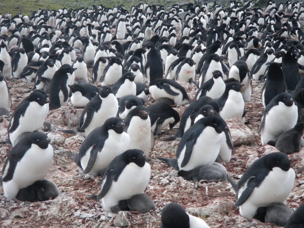
As climate change continues to reshape the planet, its effects are particularly pronounced in Antarctica, where the impacts threaten the survival of native species. Among the most affected are the Antarctic Adélie penguins, which face potential extinction due to diminishing sea ice and rising ocean temperatures and acidity. By leveraging three decades of satellite imagery from the NASA/USGS Landsat mission, researchers have gained new insights into the dietary habits of these penguins and their linkage to climate change.
The study, as published in Current Biology, represents a groundbreaking approach in Earth science. It uses satellite data to understand food-web and population dynamics across the entire continent. The findings reveal a concerning shift in the penguins’ diets due to global warming and changes in sea ice, highlighting the broader ecological impacts.
Spearheaded by Clemson University, the research team included experts from Stony Brook University, UC Santa Cruz, NASA, among others. They analyzed the guano’s spectral signature using visible and infrared wavelengths to reconstruct Adélie penguin diets from 1984 to 2013. These satellite observations were complemented by lab analyses of collected samples, providing a detailed look at penguin diet changes over time.
*Artist’s impression of a Landsat satellite. Credit: NASA*
The research team employed stable isotope analysis to determine dietary shifts between krill and fish. Adélie penguins typically rely on fish in regions with abundant sea ice, switching to a krill-heavy diet as ice recedes. Mapping these patterns offers a crucial indicator of the broader ecological changes occurring due to climate change.
Integrating the guano spectra data with Landsat imagery, the team developed a model to assess dietary trends across Antarctica. This innovative use of satellite data provides a comprehensive view of ecosystem changes over decades, overcoming the challenges of studying such a remote and vast area.
This research underscores the potential of Earth-monitoring satellites in tracking environmental changes and their effects on local species. Dr. Casey Youngflesh of Clemson University noted:
Satellites enabled us to do something that would otherwise be impossible. The innovation wasn’t the satellite technology itself, but the ability to leverage these decades of satellite imagery with modern geochemical, statistical, and computational tools. No one intended for these satellites to be used to monitor penguins, but now we’re able to use them in these novel ways.
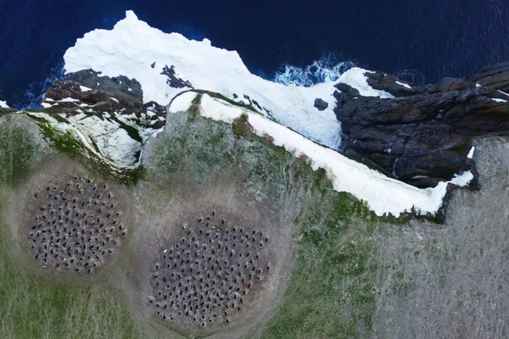 *Penguin colony as seen by drones. Credit: Thomas Sayre-McCord/WHOI/MIT*
The findings carry significant implications for the future of Adélie penguins, which primarily feed on Antarctic silverfish and krill. With krill becoming less available due to warming oceans and increased predation by recovering seal and whale populations, penguins may face nutritional challenges. Co-author Michael J. Polito from UC Santa Cruz explained:
Adélie penguins are an iconic species breeding all around the continent of Antarctica. They act as a ‘canary in the coal mine,’ and our study illustrates how recent warming has disrupted the Antarctic marine food web they rely on to the detriment of many of their populations.
We spied on penguins from space by using satellite images to figure [out] what they eat all around Antarctica to help explain their diet and population response to recent climate change. Antarctica has experienced rapid environmental change in recent decades, and this approach gives us a new and powerful tool to learn how it has affected penguins.
Further Reading: UCSC, Current Biology
Original Story at www.universetoday.com